The City as Dollhouse or The Turgot Map of Paris
In 1739 Louis Bretez drew every rooftop courtyard and chimney in Paris creating a portrait so detailed it was all but useless
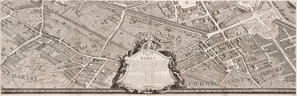
What if you could peel the rooftops off Paris and look down into every courtyard, garden, and alley all at once? In 1739, the Turgot Map of Paris was completed—a dizzying, ten-foot-wide masterpiece that turned the city into something between an x-ray and an MC Escher-esque dream.
TL;DR
In 1739 Paris unveiled one of the most detailed maps ever made—too big to carry, impossible to navigate, but dazzling enough to become a symbol of France’s cartographic ambitions.
[And JIC you’d rather skip my commentary and go straight to the beautiful stuff, I’ve linked originals right below. Really, forget me and go to the Gallica and Internet Archive versions—they’re extraordinary.]
Further Exploration
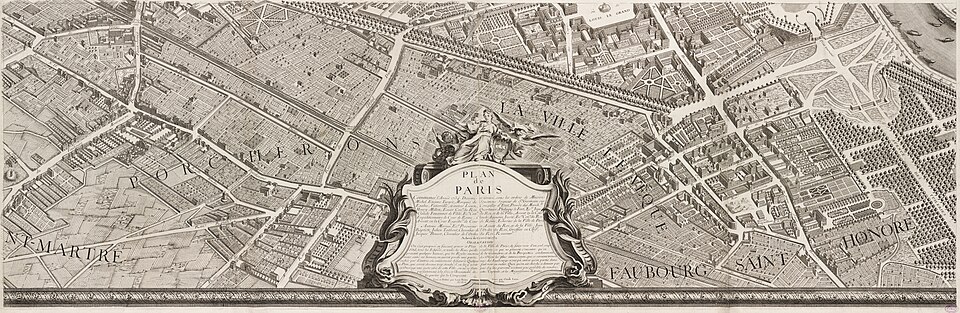
If you’d like to explore the Turgot Map yourself, start here:
- Gallica (Bibliothèque nationale de France): Full digital collection of the Turgot Map plates
- Internet Archive: High-resolution scans
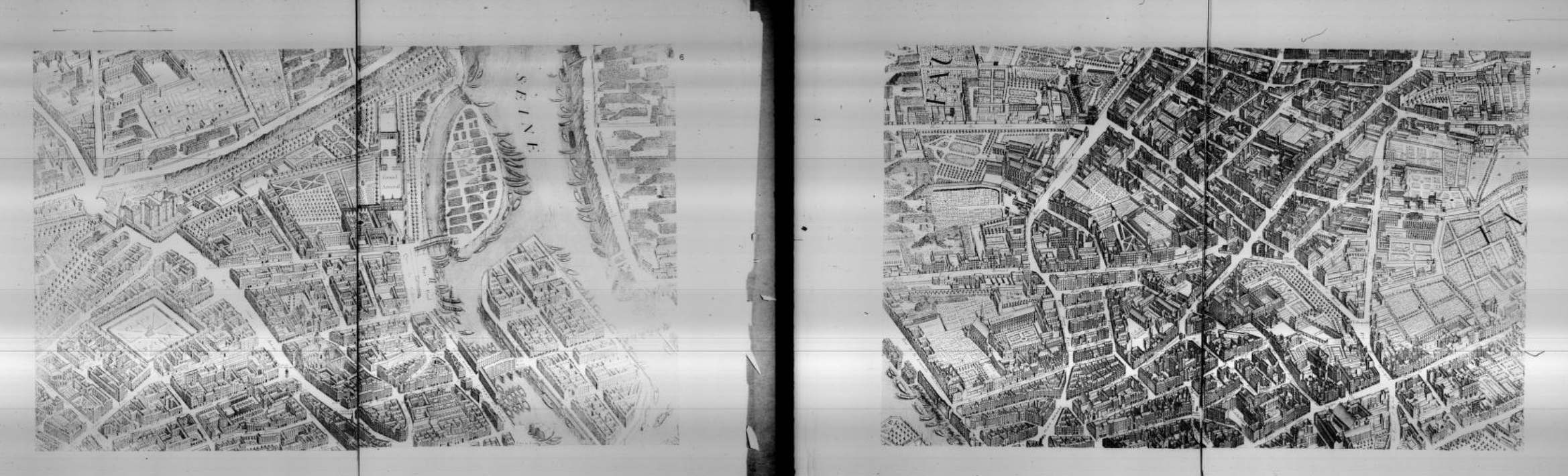
- Internet Archive: a 1908 edition of the book of the map. I love this one.
[ed note: you can safely stop here, perhaps feel as if you have learned a little something, then just look at cool maps.
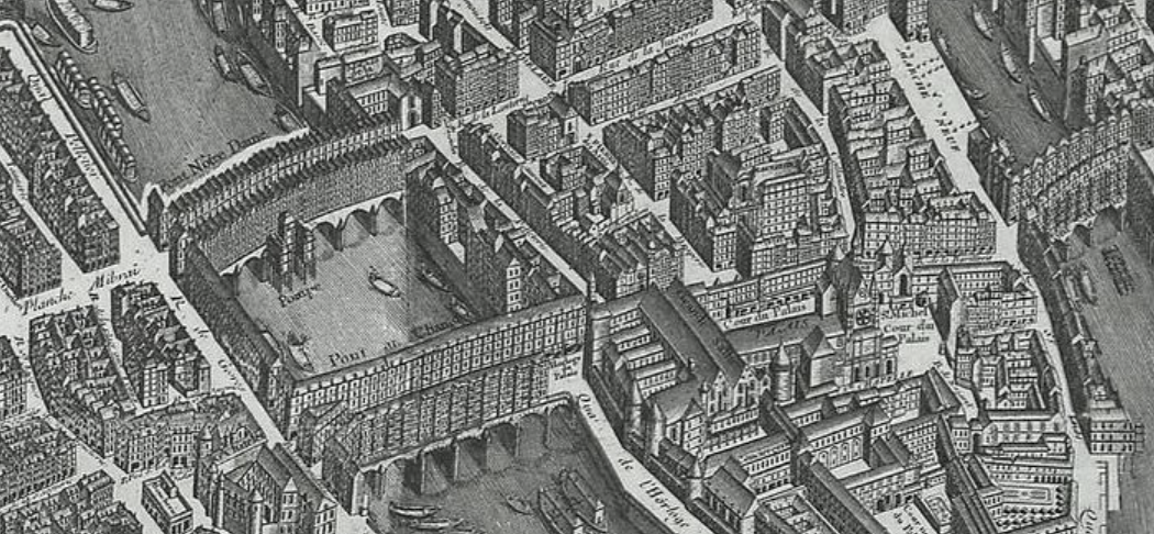
but do check out the bridges. And the houses on them.]
Drawing the City
In 1734, Michel-Étienne Turgot, Paris’s chief administrator, had a grand idea—to capture the entire city on paper, down to every courtyard, chimney, and crooked lane. He wanted not a diagram but a portrait.
Louis Bretez, a draftsman from the Royal Academy of Painting, spent five years walking the city, sketchbook in hand. Turgot granted him access to everything: private gardens and courtyards—unheard of at the time. It was one of those Enlightenment projects that blurred the line between science and art.
Turgot wanted a statement of Paris’s confidence and precision. No map so measured and artistic had ever been made before.
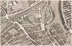
Bretez’s style—perspective cavalière—ignored distance and scale in favor of clarity and order, drawing every building with no change in perspective, no matter how far it was from the viewer.
When the map was finally published in 1739, it was twenty engraved copper plates forming a single vast bird’s-eye view of the city, before planes, before balloons, before anyone could truly see Paris from above.
I was discussing this with an artist friend of mine, who pointed out that 18th-century engraving techniques allowed for increidble precision and texture—the precision of hand-carved copper, the subtle variations in line and pressure, the way thousands of tiny cuts could turn metal into light. It’s hard to reproduce even with digital tools.
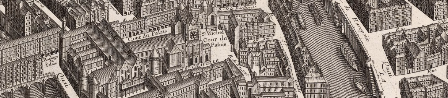
It was drawn at roughly a 1:400 scale— one centimeter for every four meters of the real city. The engravings were so fine that individual windows, staircases, and chimneys are clearly visible.
The original copper plates are still preserved at the Chalcographie du Louvre.
Paris on Paper
They were discovering cartography itself: scale, proportion, perspective—all now taken for granted—were being invented then, tested, and argued over.
Every image required endless calculations and weeks of fieldwork. And yet, the results still shape how we see France today.
I think this is cool. They’ll think it’s cool too. Then, they’ll think you’re cool. Be cool.
strange and impractical
The Turgot Map remains one of the most detailed city portraits ever made—and one of the least practical, because:
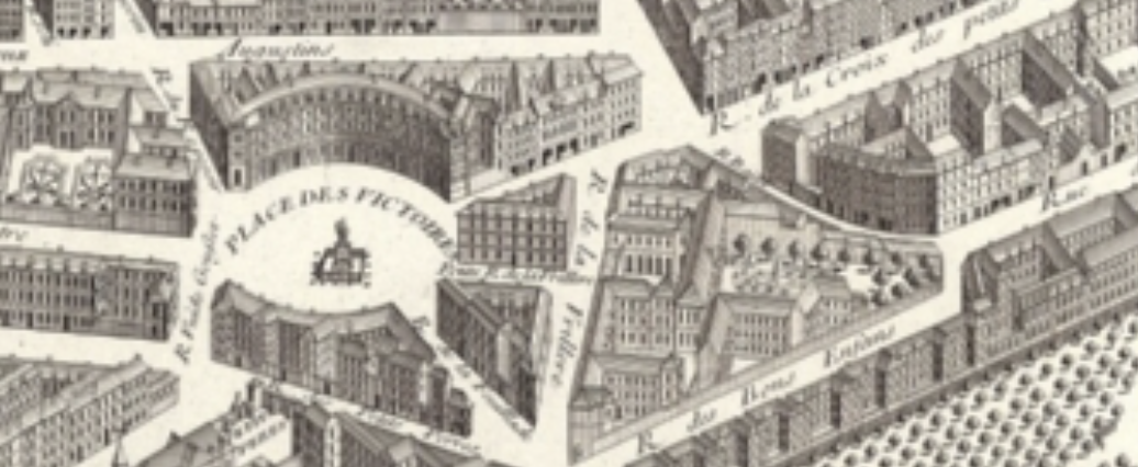
- Impossible perspective: Long before flight, Bretez created a composite “view from nowhere,” no change in perspective, every building upright.
- Too big: Twenty giant plates made the full map nearly 10 by 12 feet—too large to carry.
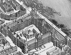
- Too much detail: Every garden, courtyard, and chimney is drawn with obsessive precision—beautiful, but overwhelming.
- Instantly Outdated: When it was printed, parts of Paris had already changed.
It was an artist’s map, not a navigator’s—made to impress more than inform.
After Turgot
The Turgot Map marked the beginning of France’s great cartographic age. In the decades that followed, the Cassini family took that same desire to measure everything and applied it to the entire country. The Carte de Cassini became the first scientific map of a nation drawn to a uniform scale.
France turned mapping into a national project, not just to define territory but the country’s identity.
Further reading
 Keith Christiansen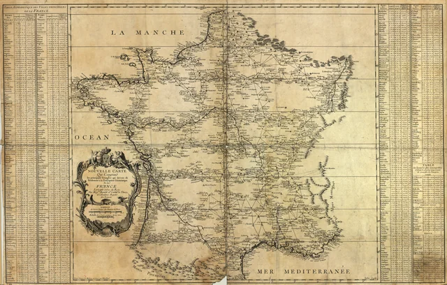
Carete de Cassini
Maps of France
 Keith Christiansen